+copy.jpg)
 Custom Search
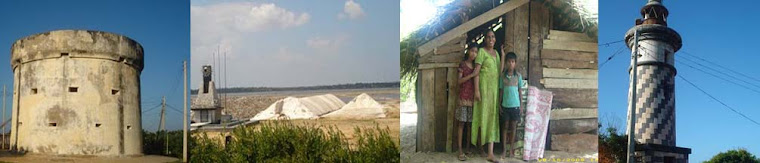
Hambantota district is located in southern province of and the dry agro-ecological zone of Sri Lanka. Western parts of the istrict are located in the intermediate zone, and a small part of the more mountainous north-west is located in the wet zone. The district has an area of 2525 square km and a shoreline of 115 square km and inland water area covers approximately 113 square km. Hambantota district accounts for 4% of the country’s total land area. Hambantota ranks as the third poorest district in the country and the poorest coastal district in the country, recording 32 percent of its people as poor.
Hambantota has remained a dry and poor district in
Tsunami waves,where people lost their lives during natural hazards. The present government is making every effort to narrow the persistent gap between the centre ( Colombo ) and the periphery ( Districts such as Hambantota ).Therefore , the government selected Hambantota as it is a district where huge potential is available for development. Specially, Land and natural resources.
HAMBANTOTA DISTRIC


MATELO KULUNA